
I-526 Lowcountry Corridor EAST
Planning & Environmental Linkages Study
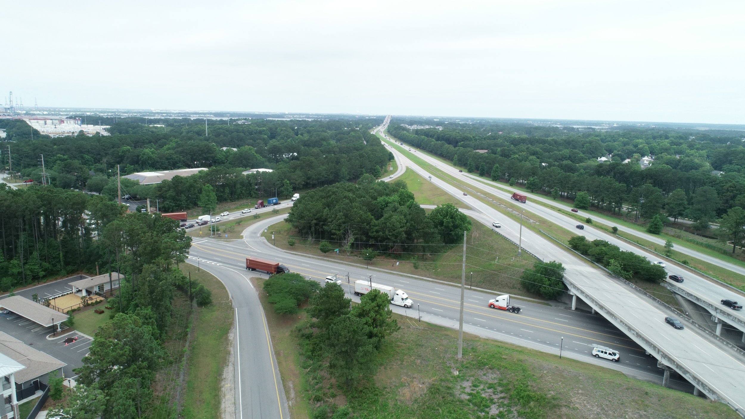
In July 2022, SCDOT completed a Planning & Environmental Linkages (PEL) study for I-526 Lowcountry Corridor EAST (LCC EAST), from Virginia Avenue in North Charleston to approximately US 17 in Mount Pleasant. The PEL study identified existing and projected transportation issues within the corridor through analysis and public and stakeholder engagement.
The results of the study established a vision to guide future transportation decision-making in the corridor. After the needs were better understood, potential improvements were identified. One such improvement is the I-526 @ Long Point Road Interchange Improvements project. Carrying forward the analysis and public input, the I-526 @ Long Point Road Interchange project went through the National Environmental Policy Act (NEPA) process, a federal review of the natural and human environment. As of August 22, 2024, the Federal Highway Administration approved the Finding of No Significant Impact and now the next phase of project development can begin — right-of-way acquisition.
Click to expand
Study Archive

I-526 Lowcountry Corridor EAST PEL Study Final Report
-
Appendix A – Existing Transportation Conditions Summary
Appendix C – Travel Time Reliability Analysis Technical Memorandum
Appendix D – Alternatives Analysis
Appendix E – Environmental Inventory
Appendix F – Natural Resource Survey Results
Appendix G (Part 1) – Agency Coordination and Public Involvement
Appendix G (Part 2) – Agency Coordination and Public Involvement
Appendix G (Part 3) – Agency Coordination and Public Involvement
Appendix H – FHWA Support Documentation

Videos
The educational videos used throughout the I-526 Lowcountry Corridor family of studies and projects can be found below. Videos used as part of public meetings or public hearings are found in the Public Meetings Archives.
How are projects identified, and how do we pick the right solutions?
Assessing and Measuring Noise Impact of New Road Projects
Environmental Study Process for SCDOT Projects
Overview: SCDOT Project Development Process
SCDOT Right-of-Way Process
What is Right of Way?
SCDOT: Infrastructure and Hydrology

Stakeholder Meetings
The I-526 Lowcountry Corridor family of projects had joint stakeholder meetings. Those meeting materials are archived below.

Public Meeting Archive
2021 Public Information Meetings (Reasonable Alternatives)
Two in-person public information meetings were held to explain how previous input was used to inform the concepts development and screening process, ask for input on the reasonable alternatives and to outline the next steps in the project development process. Additionally, all materials were made available online. The comment period ended on December 1, 2021.
Tuesday, October 26, 2021, 5-7 PM | R. L. Jones Center (Mount Pleasant)
Wednesday, October 27, 2021 5-7 PM | Felix C. Davis Community Center (North Charleston
Boards
Design Concepts evaluated for each section of the I-526 LCC EAST. Updated in March 2022 with new Alternative, Alternative 3A, as a result of public comments. Actualizado en marzo de 2022 con la nueva Alternativa, Alternativa 3A, como resultado de los comentarios públicos.
2020 Public Information Meetings
(Draft Purpose and Need, Existing Conditions, Introducing the PEL study process)
The I-526 Lowcountry Corridor EAST public information meeting and survey were presented to the public July 15 – August 15, 2020. Materials for the public meeting are below.
Boards
How are projects identified, and how do we pick the right solutions?

Newsletters and Email Announcements
The I-526 Lowcountry Corridor newsletter and email announcements provided content on the I-526 Lowcountry Corridor WEST Final Environmental Impact Statement and Record of Decision, the I-526 Lowcountry Corridor EAST Planning and Environmental Linkages Study as well as the I-526 @ Long Point Road Environmental Assessment as the projects and studies progressed.
-
-
Spring 2022 (Email) ENG
-
-
-
-
-
-
